To: Author

Article Fingerprint
ReserarchID
71FX3
Choose where you want to hide AI Takeaway. Your site-wide choice will be remembered in this browser.
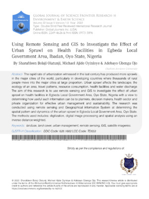
The rapid rate of urbanization witnessed in the last century has produced more sprawls in the major cities of the world, particularly in developing countries where thousands of rural people move into the major cities at large proportion. Urban sprawl affects the landscape, the ecology of an area, travel patterns, resource consumption, health facilities and water discharge The aim of this research is to use remote sensing and GIS to investigate the effect of urban sprawl on health facilities in Egbeda Local Government Area, Oyo State, Nigeria with a view to determining how useful such information can be to planners, decision makers, health sector and private organization for effective urban management and sustainability. The research was conducted using remote sensing and Geographical information System at determining the spatial pattern and dynamics of the urban sprawl in Egbeda Local Government Area, Oyo State. The methods used includes: digitization, digital image processing and spatial analysis using an inverse distance weighted (IDW) technique, Maximum likelihood supervised classification and post classification change detection techniques were applied to Landsat imageries acquired in 1984, 2006 and 2018. Geographical Positioning System (GPS) was used to identify the health institutions and obtain the coordinates of the location of each identified health facilities. These were loaded on the imagery of Egbeda Local Government Area that was digitized from the images using the software of ArcGIS 10.2. Imageries were classified into built-up area, vegetation, bare surface, cultivation and water body. The results of the analysis obtained showed drastic change in built-up area which rose to 32.8% from 25.4% between 1984 and 2018 periods. To reduce the effect of urban sprawl on health facilities in the study areas, the government, stakeholders, policy makers and urban planner can make use of these techniques for effective city planning and sprawl control to attain and sustain future urban development.
Sharafdeen Olatunji, Michael Oyinloye, Adebayo Ojo. 2026. "Using Remote Sensing and GIS to Investigate the Effect of Urban Sprawl on Health Facilities in Egbeda Local Government Area, Ibadan, Oyo State, Nigeria". Global Journal of Science Frontier Research, Global Journal of Science Frontier Research - H: Environment & Environmental geology GJSFR-H Volume 22 (GJSFR Volume 22 Issue H5).
Crossref Journal DOI 10.17406/GJSFR
Print ISSN 0975-5896
e-ISSN 2249-4626
v1.2
Explore published articles in an immersive Augmented Reality environment. Our platform converts research papers into interactive 3D books, allowing readers to view and interact with content using AR and VR compatible devices.
Your published article is automatically converted into a realistic 3D book. Flip through pages and read research papers in a more engaging and interactive format.
Total Score: 147
Country: Nigeria
Subject: Global Journal of Science Frontier Research
Authors: Sharafdeen Bolaji Olatunji, Michael Ajide Oyinloye , Adebayo Gbenga Ojo (PhD/Dr. count: 0)
View Count (all-time): 280
Total Views (Real + Logic): 506
Total Downloads (simulated): 40
Publish Date: 2022 07, Tue
Monthly Totals (Real + Logic):
We use cookies and similar technologies to improve site performance, understand traffic, and enhance your publishing experience. Cookie Policy
Choose which optional cookies Global Journals can use. Your preference applies across this platform and can be updated any time.
These cookies are required for core website functionality and security.
Lorem ipsum dolor sit amet, consectetur adipiscing elit. Ut elit tellus, luctus nec ullamcorper mattis, pulvinar dapibus leo.